In the fields of geology and mining, a geological model is a critical tool that serves as the backbone for resource estimation, exploration planning, and risk determination. A key point in the design and operation of a mine is the construction of what is called an ore body model. The proper description of an ore body is the foundation upon which follow up mine decisions are taken. An ore body model has three distinct components,
viz.
(i) the physical geometry of the geologic units that formed and host the ore body;
(ii) the attribute characterisation in terms of assays and geo-mechanical properties of all materials to be mined; and
(iii) the value model in terms of economic mining of the ore body.
It incorporates different types of geological data to create a comprehensive representation of subsurface conditions. Let’s delve deep into this blog so that you can explore the fundamental aspects of geological models, their technical components, and their industrial significance as well.
Decoding a Geological Model
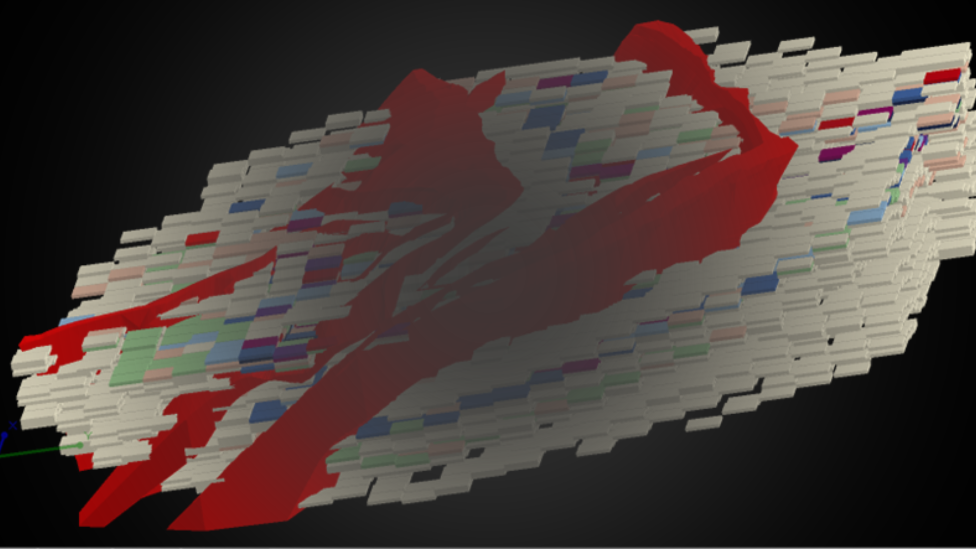
A geological model is a three-dimensional (3D) representation of the Earth’s subsurface, created utilizing geological, geophysical, geotechnical and geochemical data. These models are instrumental for geologists to visualize underground structures, predict mineral deposits, estimate the mineral resources and evaluate geological risks & uncertainties. The basic concept of ore body modelling is to conceive the entire ore body as an array of blocks arranged in a three-dimensional X Y Z grid system (X representing Easting, Y representing Northing and Z representing Elevation) by making certain assumptions about the continuity of the ore body parameters. There are four conditions that an ore body model must satisfy, viz.
(i) the parameters of a model chosen should allow estimation to be made;
(ii) the model must be able to provide an answer to a relevant question;
(iii) the model must be compatible with data; and
(iv) the predictions of the model should be verified or checked by experience. As a prerequisite to ore body modelling, it is necessary to identify geological domains of homogeneity within which ore body modelling should be carried out. A well-established geological model helps geologists and mining engineers to:
- Predict the distribution of ore bodies and resources & reserves
- Estimate the quantity and quality of mineral resources
- Assess geological risks and uncertainties
- Optimize exploration and mining operations
In simpler terms, if you think of the Earth’s underground as a book, a geological model is like an illustrated guide that helps experts read and interpret the hidden stories within the layers of rock.
The Process of Building a Geological Model
Crafting an accurate geological model is like gathering a jigsaw puzzle with data assembled from various sources. The process typically requires the following steps:
1. Data Collection
Geologists gather information from:
- Geological Mapping: Observing rock formations, soil samples, and geological features. Provides a visual representation of the geology at the surface in the form a geological map, including lithologic units; contacts; and structural features, such as dip and strike of beds, faults, fold axes, and other structural elements are essential for building the structural framework
- Cross Sections: Helps visualize the subsurface structure and lithologic variations along specific lines, supplementing the map data
- Geophysical Surveys: Utilizing seismic waves, magnetic fields, and gravity measurements to probe underground structures and continuity of the ore body
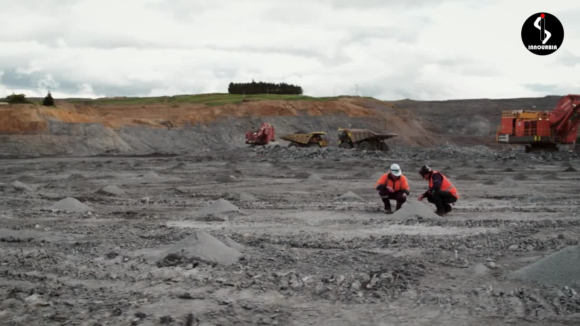
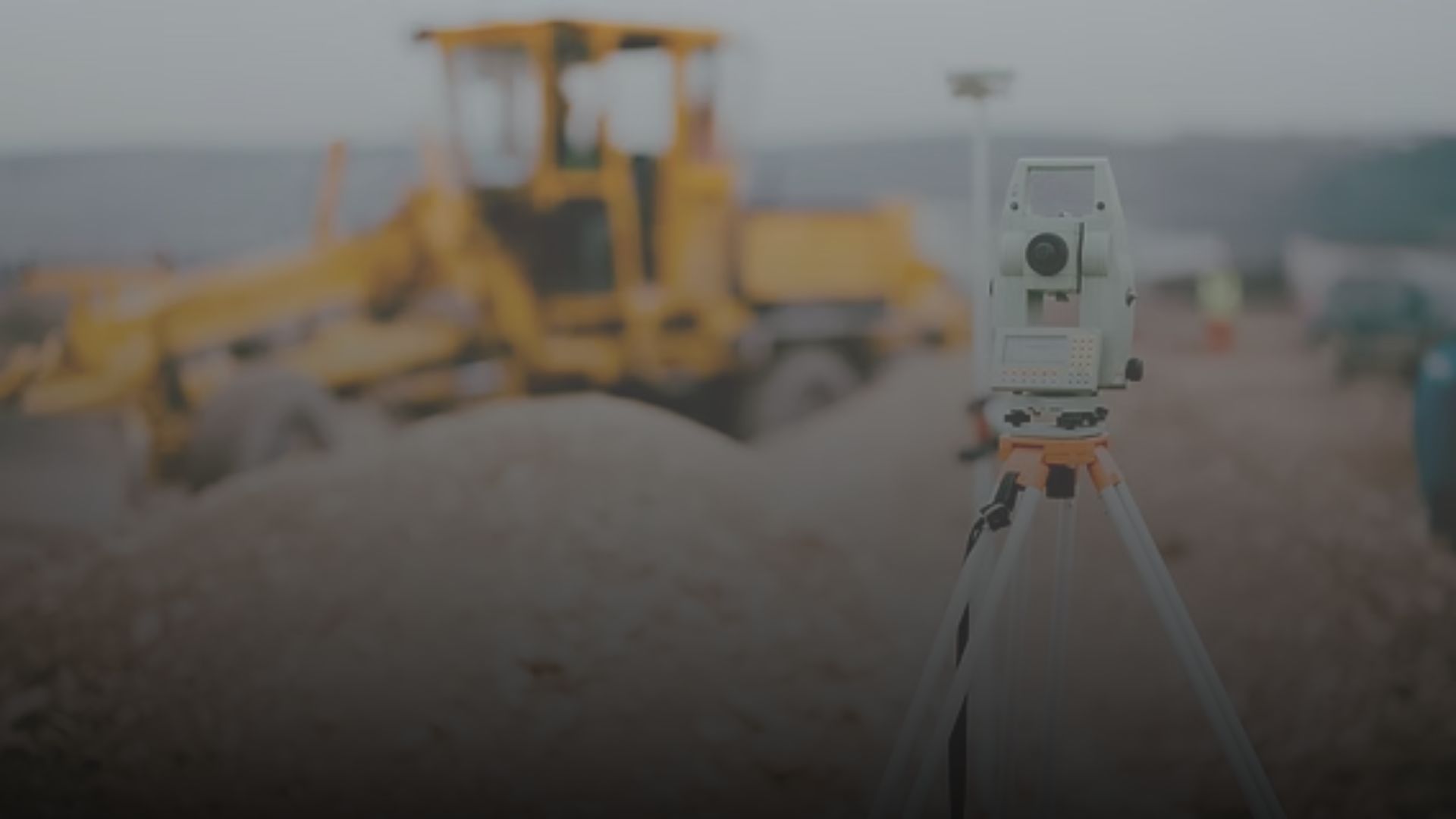
- Drilling & Core Sampling: Extracting rock samples from deep underground to examine composition and age
- Assay values: Chemical analysis values of important elements and radicals being analyzed out of core samples in a particular interval pattern, to determine the mineral assemblage and ore characteristics
- Elevation Data: Providing the surface topography, which is a crucial input for defining the spatial extent of the model
2. Data Integration & Interpretation
Once the data is collected, geologists integrate it utilizing specialized software to construct a digital model. This step requires skillfulness in geology, physics, and computational science to interpret the information correctly.
3. Data consistency and validation:
Ensure data accuracy and consistency before proceeding.
4. Model Construction
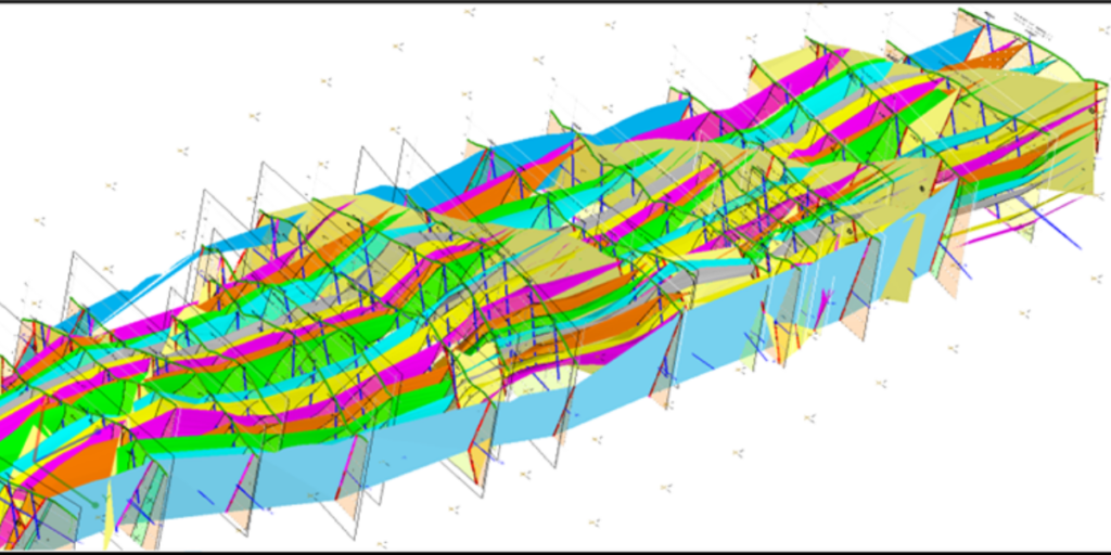
With the help of advanced 3D modeling software available in the industry (to name a few are LEAPFROG, K-MINE, SURPAC, DATAMINE, VULCAN, MINEX and others) geologists build representations of underground layers, fault lines, and mineral distributions. These models can range from simple cross-sections to complicated, dynamic simulations of subsurface conditions.
5. Validation & Refinement
To ensure precision and accuracy, the model is tested against real-world observations and historical data. Geologists may refine the model multiple times to enhance its reliability before it is utilized for decision-making.
Best Practices for Geological Modelling
- Analyze data. Analyze your data using 3D drillhole interpretation and data visualization tools to look for errors in the data set
- Stay focused. Produce a model that answers a specific question or addresses a specific problem. Don’t unnecessarily model all the data available just because it is there
- Experiment and explore. Produce variations of the same model, or even models, using quite different fundamental assumptions. Plan drill holes that will help reveal what model fits best and then discard models that are inconsistent with new data
- Understand risk. Model using a range of input parameters and assumptions to understand the level of geologic risk
- Share. Discuss and explore alternatives
- Adapt. Previously, the effort of production and review of traditional models meant that there is reluctance to rebuild a model when new data becomes available soon after model completion. However, with new age modelling technologies, one should integrate new data and refine the model as soon as the new data is available. The revised model could indicate that planned activities should be redirected as expensive resources would be wasted persisting with the original plan, for little return.
- Evaluate and review. Don’t assume that because it’s easy to generate a model that you have quickly produced the right model. Understanding the geology is vital for validating the model and producing something that is geologically reasonable.
Types of Geological Models
Geological models can be broadly classified into several categories on the basis of their purpose and the type of data used:
1. Stratigraphic Models
- Focus on layering and depositional environments
- Used in petroleum geology and basin exploration
- Incorporate seismic reflection data and well log interpretations
2. Structural Models
- Represent faults, folds, fractures, and deformation patterns
- Crucial for making out tectonic influences on resource deposits
- Constructed using geophysical surveys and field mapping
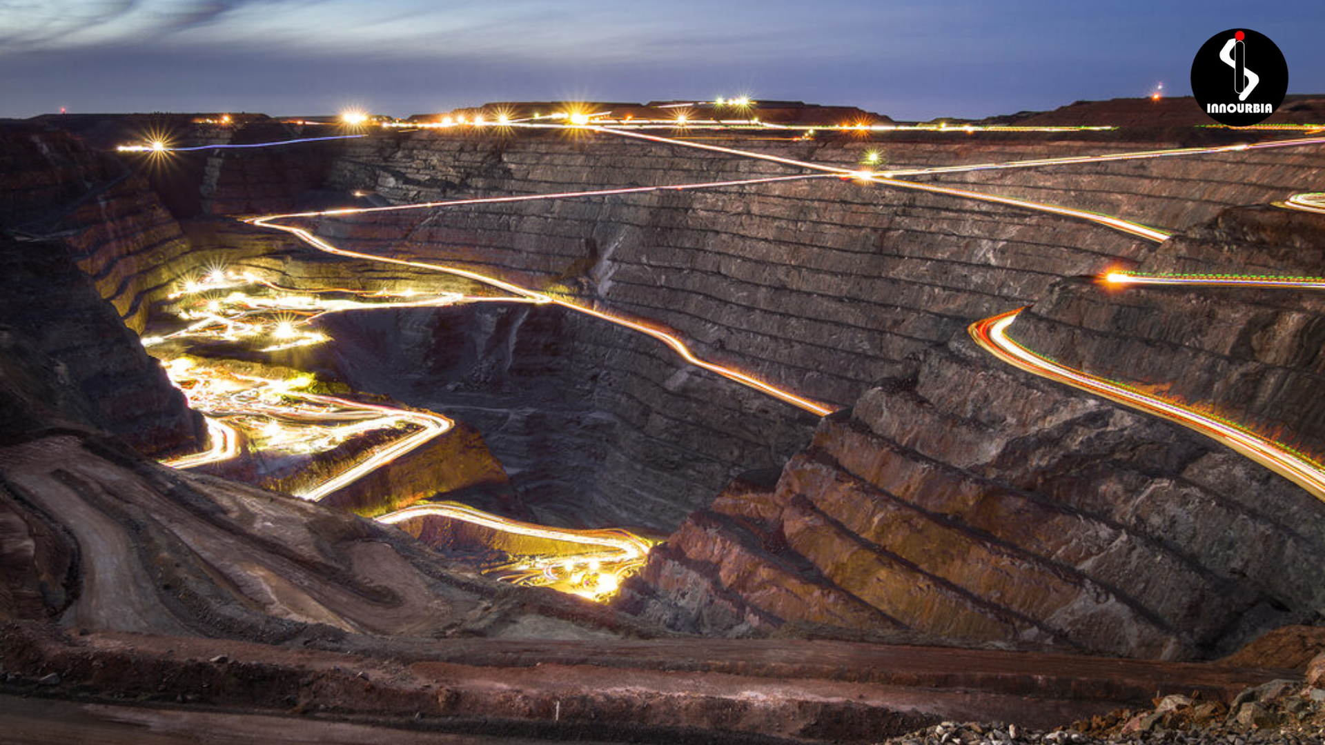
3. Mineral Deposit Models
- Define ore body geometry, mineralogy, and grade distribution
- Built using drill core logging, geochemical assays, and geostatistical methods
- Used in resource estimation and mine planning
4. Hydrogeological Models
- Represent groundwater flow, aquifers, and contamination pathways
- Enhanced using hydrological data and numerical simulations
- Applied in water resource management and environmental assessments
5. Geotechnical Models
- Examine rock mechanics, stability, and engineering properties
- Used in tunnel construction, open-pit design, and dam site selection
- Integrate laboratory test results and on-site stress measurements
Technical Aspects of Geological Modeling
1. 3D Geological Modeling Software
Multiple specialized software packages are used to construct geological models, including:
- Leapfrog Geo (for implicit modeling of ore bodies and hydrogeology)
- K-MINE (for 3D Ore body modelling, reserve estimation, grade control and mine planning and have both implicit & explicit methodologies)
- Surpac (for mine planning and grade control)
- Petrel (for petroleum reservoir modeling)
- GOCAD (for complex structural modeling)
2. Implicit vs. Explicit Modeling
- Explicit Modeling: Uses manually drawn surfaces and sections to define geological structures
- Implicit Modeling: Utilizes mathematical algorithms to introduce surfaces from point data, making the process more automated and adaptable to new data
3. Uncertainty and Risk Analysis
- Geological models are inherently speculative due to data limitations
- Sensitivity analysis and Monte Carlo simulations help determine the confidence level of predictions
- In order to manage risks in exploration and mining, probabilistic modeling provides multiple scenarios
Challenges Involved in Geological Modeling
One of the primary challenges in geological modeling is data uncertainty. Subsurface exploration is inherently limited by the available data points, and interpolation techniques can introduce errors. The lack of direct observation in deeper formations means that models are often built on assumptions that need continuous validation through drilling and additional surveys.
Another challenge lies in the integration of multi-source and multi-scale data. Geological processes regulate at vastly different spatial and temporal scales, making it difficult to reconcile high-resolution data from boreholes with broader regional geological maps. Ensuring consistency between these datasets demands sophisticated data fusion techniques and cross-validation methodologies.
Computational limitations also pose challenges. High-resolution 3D geological models require extensive computational power, particularly when incorporating real-time data or conducting simulations. Cloud computing and high-performance computing (HPC) infrastructures have alleviated some of these constraints, but model optimization remains a critical consideration.
Finally, industry professionals often face difficulties in model validation. Geological models are only as good as the input data and assumptions made during interpretation. Model calibration against real-world observations, such as production data in hydrocarbon fields or geotechnical instrumentation feedback, is essential to improve model reliability.
The Future of Geological Modeling
With advancements in artificial intelligence (AI), machine learning (ML), and big data analytics, geological modeling is becoming more accurate and efficient. New technologies enable real-time updates and predictive modeling, helping industries make more informed decisions while lowering environmental impact.
Revolutionizing Geological Modeling with LEAPFROG and K-MINE
Innourbia Solutions Pvt. Ltd. has exposure to several geological modelling softwares, such as LEAPFROG and K-MINE. These tools are transforming geological modeling by integrating advanced technologies that enhance precision and proficiency in integration of exploration data and application of mathematical tools. Our flagship software, LEAPFROG and K-MINE both offer robust 3D modeling capabilities, assisting correct resource estimation and mine design. By strengthening geological, geophysical, and other relevant data into a unified platform, informed decisions can be made with the help of K-MINE and LEAPFROG by leveraging both explicit and implicit modelling techniques for overall productivity. In addition to that, their cloud-based features support seamless collaboration among stakeholders, ensuring that intricate geological processes are made more comprehensible or accessible through intuitive workflows. In Implicit Model a mathematical construct is built that can be used to visualize different aspects of the data in 3D. Leapfrog Geo uses FastRBF™, a mathematical algorithm developed from radial basis functions. Implicit modelling allows several alternative hypothetical models to be produced from the data, quickly and easily. New data that affects the model, even in very significant or fundamental ways, can be assimilated and integrated with little effort. Models can be built rapidly, which means that a range of geological interpretations can be continually tested.
Advancing Technology for a Deeper Understanding of Earth
A geological model is more than just a scientific tool – it is a window into Earth’s hidden structures and processes. Whether it’s for energy exploration, disaster prevention, or infrastructure development, these models play an integral role in shaping the way we communicate with our planet. As technology evolves, so too will our ability to understand and utilize the Earth’s vast geological resources more responsibly and effectively. If you’re more enthusiastic to know more about mineral exploration and mining operations, then visit our official website. Also, you can contact us so that you can resolve your queries as well. Apart from that, you can visit our office located at Astra Tower, New Town, Kolkata.
So, next time you see a rocky cliff or a mountain range, remember – beneath the surface lies a complex, dynamic world that geologists work tirelessly to define. And it all commences with a geological model.