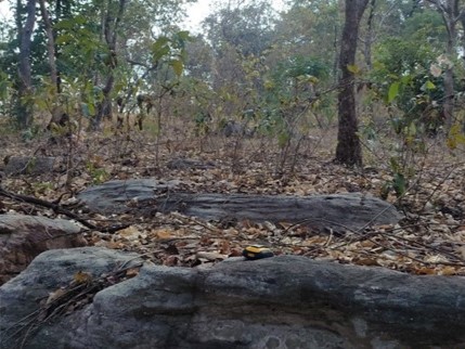
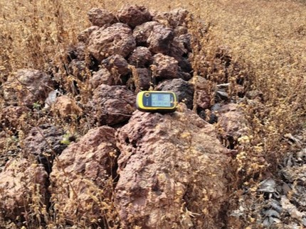
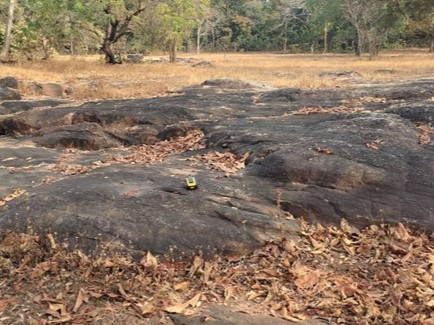
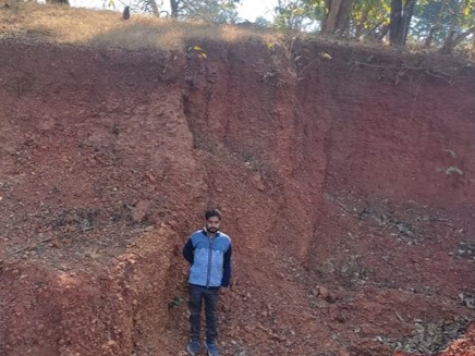
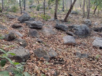
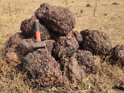
The project involves utilizing remote sensing data for topography modelling and Digital Elevation Model (DEM) generation of almost 40 sq.km. area to identify the signatures of possible Bauxite occurrences within the entire block area of Keshkal District. The remote sensing procedures will cater to high-resolution imagery and spatial data, which will be used to create accurate topographic models and DEMs of the entire block area, with a focus and emphasis on mineral potential target zones for the next level of exploration. These models are crucial for identifying the landscape’s potential for bauxite mineralization and mining, evaluating the accessibility of bauxite deposits & finding the economic feasibility of extraction. By integrating topographic analysis with geological data, the study aims to optimize resource planning and decision-making for bauxite exploration and mining operations, along with the economic viability or feasibility of the project.