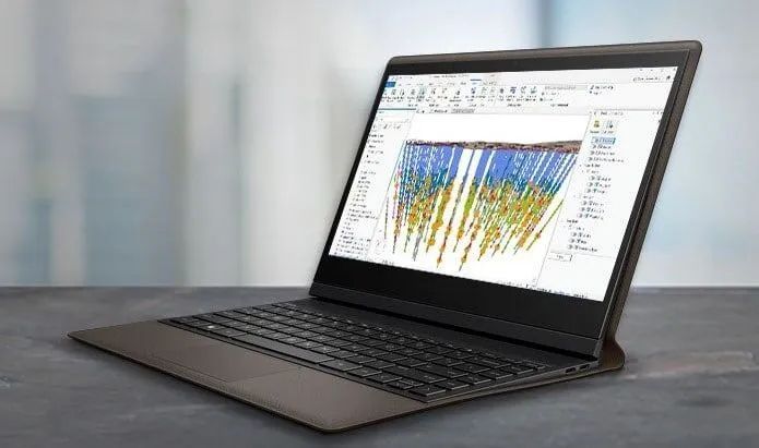
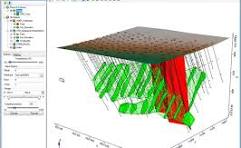
Explore with confidence – visualize, control, and share drill hole and geoscience data faster
Our App Solutions :
Target Geosoft imports & organizes 50+ data formats, including CAD, GIS, and mine planning. Also, it connects 3D models to validate ideas & builds as well as refines iterations quickly with new data.
Target Geosoft has emerged as a highly versatile and powerful tool, helping geoscientists and engineers analyze complex geological data, create accurate models, and optimize decision-making processes.
Advanced modelling services that help visualize subsurface structures and geological formations in 3D, using data like drillhole, geophysical, and geological data. Also, services for performing detailed geospatial analysis to understand geological trends and structures, aiding in decision-making for exploration and mining – are utilized.
Copyright © 2025 Innourbia Solutions Pvt. Ltd. - All Rights Reserved.