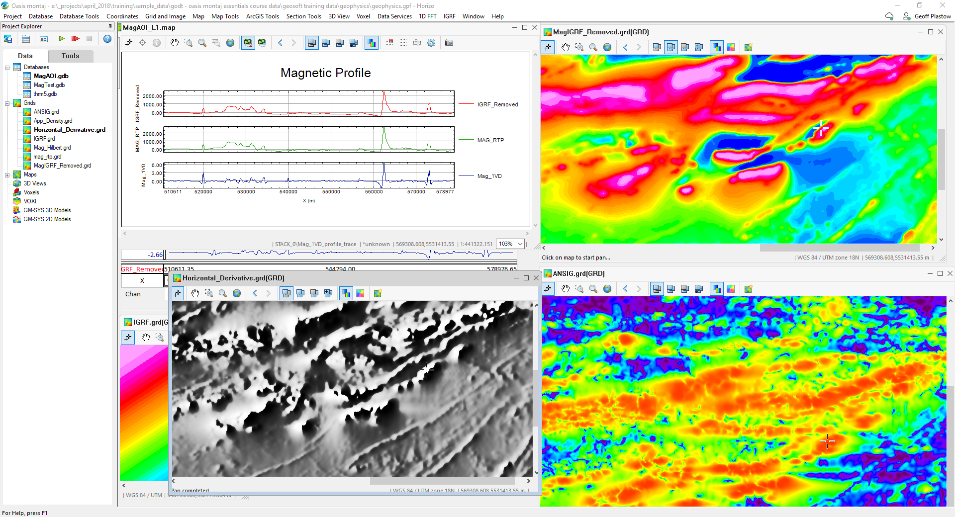
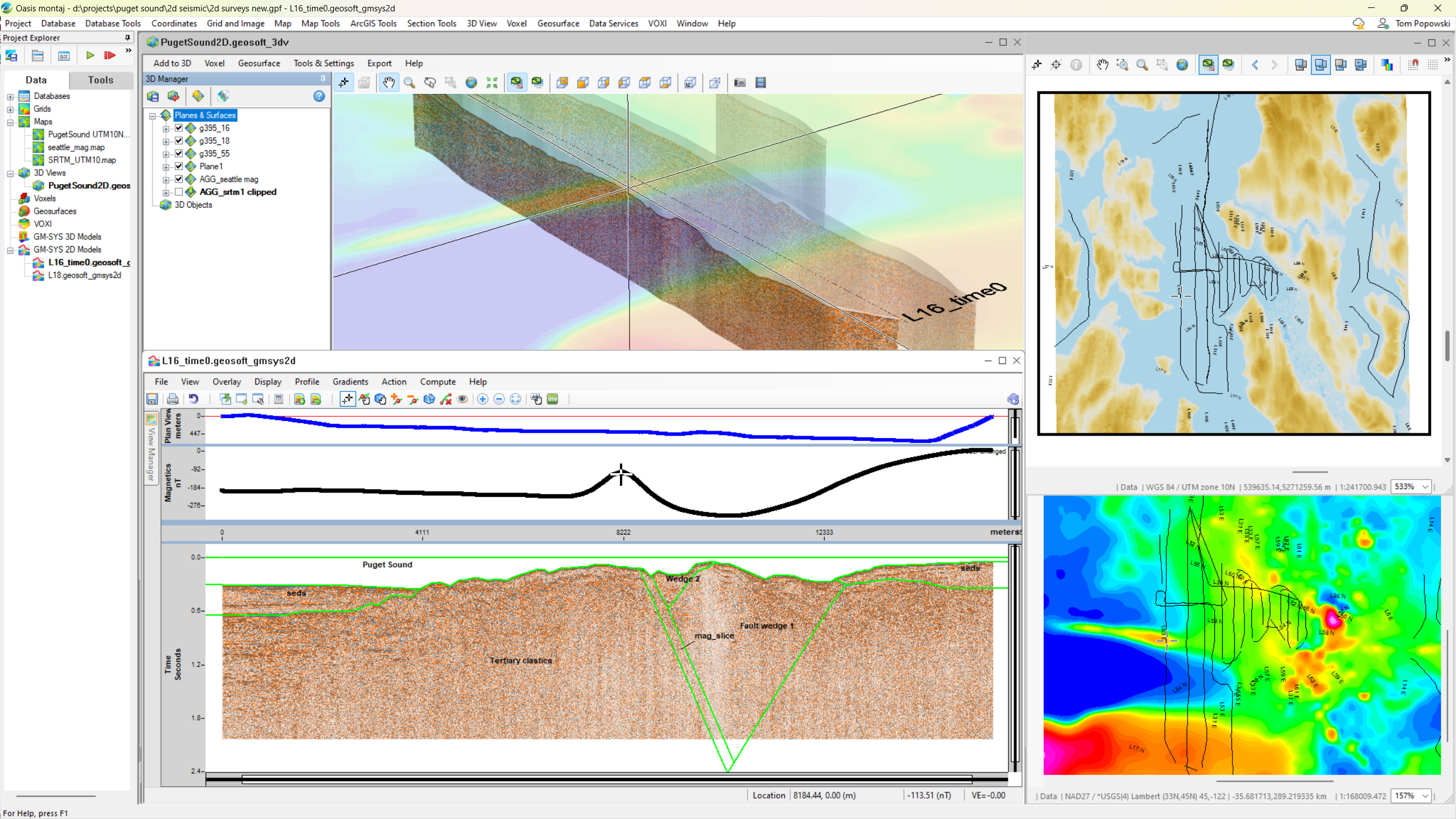
Helps visualize, analyze, and integrate geoscience data for informed decision-making – leading geophysics modeling for 30+ years, setting industry standards with continuous innovation
Pioneering Geophysical Insights by :
Oasis Montaj flawlessly aligns Latitude/Longitude and Easting/Northing data for accurate geospatial analysis. It automatically re-projects data in real-time. With this feature, you can confidently overlay and work in the correct coordinate system.
Seequent Oasis Montaj incorporates geophysical, geological, and geospatial data for comprehensive analysis. It offers potential 3D modeling, inversion, and real-time projection tools. It accordingly connects with GIS applications for enhanced insights.
Geosoft Oasis Montaj offers advanced geospatial data analysis and 3D visualization.
It integrates geophysical, geological, and geochemical data for efficient interpretation.
Streamline exploration workflows and enhance decision-making with powerful modeling tools.
Copyright © 2025 Innourbia Solutions Pvt. Ltd. - All Rights Reserved.