In today’s ever-evolving domain of mineral exploration, traditional methods of mineral discovery are often time-consuming, expensive, and a hit-or-miss approach, which is therefore, rapidly giving way to a more precise, cost-effective, and technologically advanced approach. Remote Sensing and Geographic Information Systems (GIS) are at the forefront of this revolution, helping mining companies streamline exploration, reduce risks, and accelerate discoveries with remarkable accuracy.
Whether you’re targeting lithium in arid terrains, searching for gold in greenstone belts, or tracking rare earth elements in complex geology, these technologies have opened up new frontiers in geospatial intelligence and mineral targeting are empowering geologists like never before
Understanding Remote Sensing and GIS in Mining
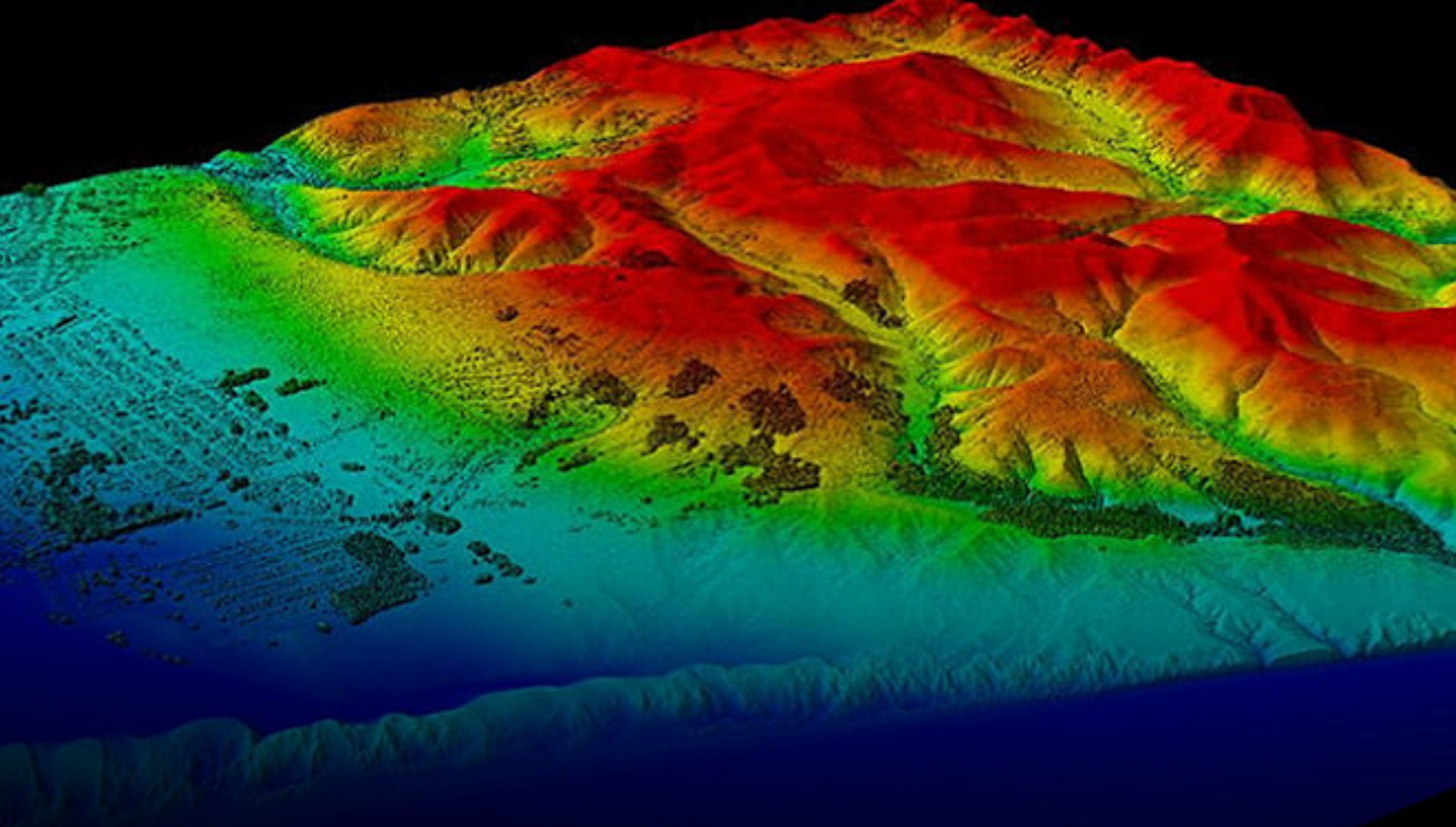
Remote sensing incorporates the acquisition of information about Earth’s surface without direct contact, typically via satellite imagery, drones or airborne sensors. These tools help to identify and analyze spectral signatures, spatial resolution, and temporal patterns to deliver crucial insights into surface mineralogy, vegetation cover, structural patterns, and lithological variations.
GIS, on the other hand, acts like a digital command centre, that integrates spatial data with attribute information, allowing for comprehensive analysis, mapping, and visualization. This combination allows you to look into the bigger picture, identify high-potential zones, and make confident decisions faster.
Why These Technologies are Game-Changers
1. Lithological and Structural Mapping
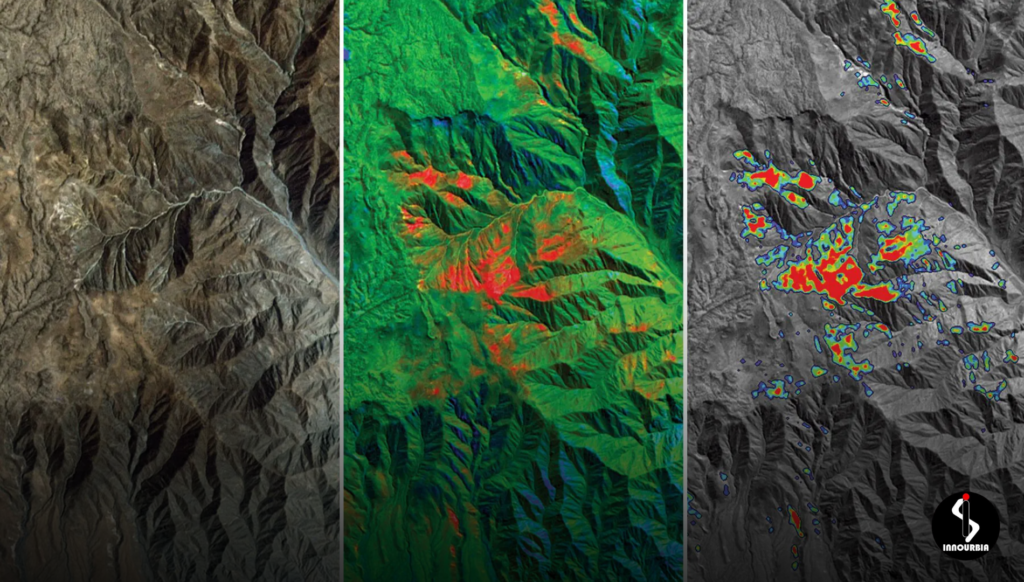
High-resolution satellite imagery from platforms like Landsat-9, Sentinel-2, and ASTER allows geoscientists to distinguish between different rock types based on their spectral signatures. Faults, lineaments, folds, and other structural features critical to mineralization can also be effectively identified and mapped using remote sensing data overlaid on GIS.
2. Alteration Zones = Hidden Clues
Spectral analysis utilizing remote sensing can pinpoint minerals like kaolinite, muscovite, chlorite, and hematite, which are commonly associated with hydrothermal alteration zones. These identified zones can then be focused on for ground-based geochemical and geophysical survey for the presence of nearby ore deposits.
3. Smart Targeting Through Integration
Integrating multiple datasets in a GIS environment – such as magnetic surveys, gravity data, soil geochemistry, and remote sensing layers – exploration geologists can delineate high-potential target zones with greater accuracy. Predictive modelling algorithms like Random Forest or Fuzzy Logic can further refine target prioritization.
4. Environmental Impact Assessment
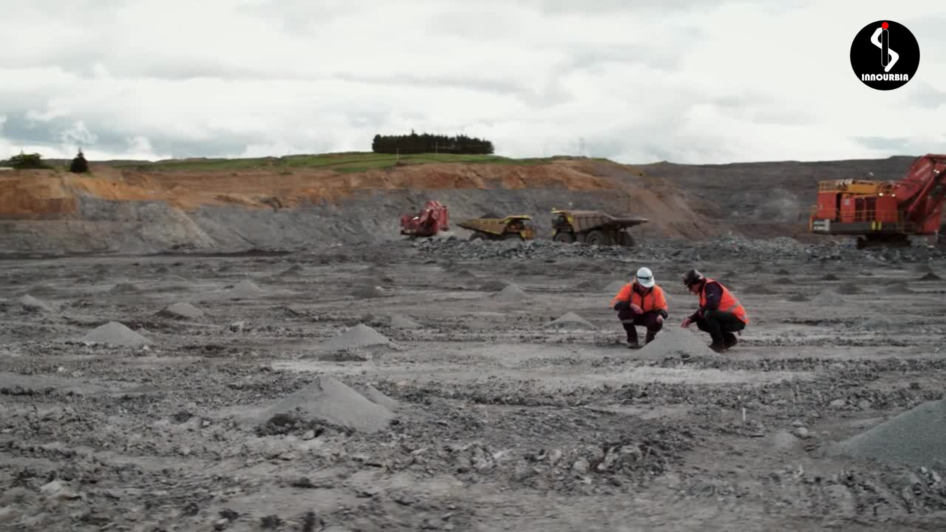
Remote sensing helps monitor vegetation health, land cover changes, and water bodies around exploration sites. This data ensures that exploration activities are aligned with environmental sustainability goals and regulatory compliance.
Still using Old Methods? It’s Time to Rethink
Traditional exploration procedures are valuable but time-consuming. Remote sensing and GIS thus offer a non-invasive, rapid, and cost-effective approach to narrowing down large prospective areas into focused exploration targets. With improved decision-making capabilities, companies can optimize drill planning, reduce field survey costs, and improve discovery rates.
From Space Tech to AI: The Future is Here
The integration of hyperspectral imaging, LiDAR (Light Detection and Ranging), and UAV (Unmanned Aerial Vehicle) technologies is revolutionizing terrain mapping and mineral identification in rugged or inaccessible areas. In recent years, advanced AI-driven GIS models have also been employed enabling the prediction of concealed ore bodies precisely.
Global Demand = New Opportunities
As the rising demand for critical minerals like lithium, cobalt, and rare earth elements surges, adopting remote sensing and GIS becomes not just an option but a necessity for modern mineral exploration. These technologies empower geologists to process vast spatial datasets, identify subtle indicators of mineralization, and accelerate the discovery pipeline.
Let’s Unlock Possibilities Together
At Innourbia Solutions Pvt. Ltd., we help you harness the full power of Remote Sensing and GIS—whether you’re launching a greenfield campaign, reassessing a prospect or optimizing operations—if you’re looking to integrate cutting-edge technology into your mineral exploration strategy, our team is here to assist you.
Reach out to us at +(91) 9892785747 or +(91) 033 48101656 for consultations and technology implementation.
Visit us at Astra Tower, New Town, Kolkata to explore how advanced geospatial technologies can transform your exploration operations.
Begin Your Next Discovery—Without Leaving your desk
Your next ore body might be hiding in a satellite image or buried in a spectral curve. Let’s find it together.